
Where Carson City Neighbor Records Begin
Carson City neighbors are best understood as a dated, block-level research question. The current parcel and assessment sources can establish a parcel label, physical situs address, or owner-related record. They do not establish every person present at an address. A voter-file request is governed by separate law and withholding rules. Planning materials identify a district, project, or assessment area, not a household list. Historical directories can add a time-stamped address lead, although their coverage may focus on central or developed areas. Keep each source in its own lane.
| Block source | What it can show about nearby parcels | Carson City access route |
|---|---|---|
| MapGeo | Parcel boundaries, road names, and location context | Online viewer; confirm visible layer and map date |
| Property Inquiry | Parcel ID, owner label, situs address, and sale-related fields | Online search and Assessor route |
| Recorded instruments | Documented parcel transactions or legal descriptions | Landmark index, then Clerk-Recorder request |
| Voter file or vote history | Election-record lead when law permits release | Written request to Carson City Elections |
| Reverse or ordinary directories | Dated address entries and past block context | Library, archive, or repository inquiry |
Read the labels precisely. The Assessor’s owner field can show an individual, trust, estate, or entity. It is not a verified occupant field. An instrument can document a recorded transaction, but a deed alone is not evidence of a social connection between adjoining parcels. A dated directory entry may be stronger for an historical address lead, while its absence may reflect a missing volume or limited geographic coverage. Save the source, date, and parcel or document identifier before moving to the next layer.
Map Carson City Neighbors by Parcel
Use an address-to-parcel sequence to keep proximity separate from identity. The Assessor’s Property Inquiry accepts parcel ID, owner name, low and high address number, and street name. Its search guidance recommends omitting a street suffix for a broader match. The portal can supply the parcel identifier, then MapGeo or the open-data route can confirm the block shape. MapGeo’s detailed click, identify, layer, and export controls were not exposed in the text research, so confirm the visible map controls rather than assuming a tool that was not captured.
- Normalize the street number, street name, suffix, unit, city label, and ZIP. Repeat a street search with and without a suffix when the Assessor route gives no exact match.
- Locate the returned parcel in MapGeo and record the map date, visible layer name, and boundary relationship to surrounding parcels.
- Review adjoining parcels one at a time as spatial context. Preserve each parcel ID and the source label without claiming that adjoining owners know one another.
- Use an APN or document number in the Recorder index only when a recorded-document question remains. For a full named-street chain, use the Carson City street directory.
Open Carson City MapGeo to view the official GIS route represented by the capture.
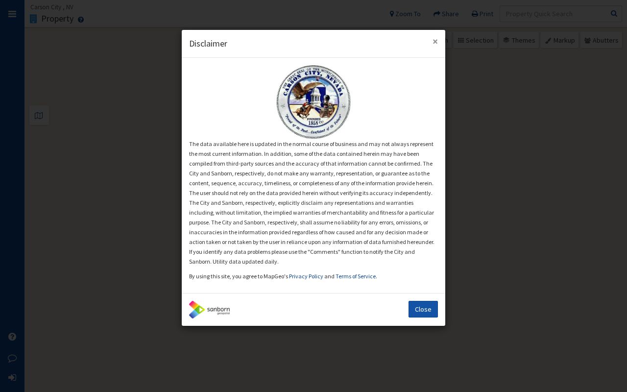
The MapGeo capture is a visual confirmation layer for the block. It should be paired with a parcel identifier and a recorded source date because map labels and data can change.
Carson City Neighbors and Situs
Property research uses terms that are easy to overread. The situs address is the physical location the Assessor uses for a parcel. A legal description is the recorded land description, while an APN is an Assessor locator. The local parcel-map explanation uses the example 008-846-23: the parts describe book or section, page, ellipse or block, and parcel. That helps find an entry, but it is not a substitute for the legal description in an instrument.
- Parcel
- A defined piece of land represented in the Assessor’s records and on a parcel map.
- Situs address
- The physical property address used by the Assessor. It can differ from a correspondence address attached to a record.
- Legal description
- The land description used in a recorded document to identify the property with legal precision.
- Owner label
- The name displayed for assessment administration. It can be an entity or other non-occupant relationship.
These distinctions matter for Carson City neighbors because ZIP labels, planning areas, and parcel boundaries have different purposes. A mailing ZIP can cross practical boundaries, and a neighborhood-improvement district can include a parcel without showing who lives there. When an address lies near a postal or jurisdictional edge, compare the address string, parcel result, tax district, and legal description before describing its setting.
Carson City Neighborhood District Records
Planning is useful for the public context around a block. The Carson City Planning Division publishes zoning, development applications, historic-resource work, growth-management material, and Neighborhood Improvement District information. Current South Carson, Downtown, and proposed East William Street NID materials can explain a planning or assessment label. They are not neighborhood rosters. A district notice can show that a parcel is within a defined area, not which people belong to a community group or live on the block.
Planning Division
Use official NID notices, zoning material, development applications, and historic-resource records for documented block context. Check the notice date and parcel scope.
Association Category Directory
The Carson City Chamber’s association-category directory is an umbrella lead, not an official resident or neighborhood-association roster. Verify any current listing with the organization itself.
The captured association-category directory is offered as a local lead rather than a verified Carson City neighbor list.
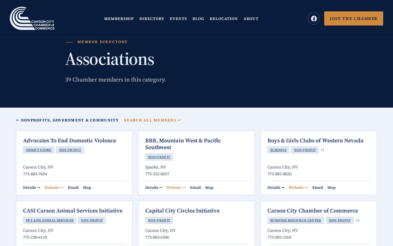
The image supports a careful follow-up: use a listed organization to find its public contact route, then confirm its scope and current information directly before treating it as block context.
Carson City Block Permit Records
Permits, plans, inspections, code cases, parcel maps, and meeting materials can add a property layer when an online search does not answer a narrow question. The city’s public-records route confirms these categories but does not promise that every underlying item is online or indexed by address. The Building Division asks for project location and APN among its application details. Code Enforcement accepts written complaints, Carson City Connect, email, and drop-off, although a complaint is not a finding of a violation.
For a focused record request, identify the street number or APN, record type, and date range. Carson City accepts requests by telephone, in person, mail, email, or fax, and its public-records page says a response is due no later than the end of the fifth business day. The response may be an inspection opportunity, estimate, referral, withholding explanation, or later availability date. Ask for permits, plans, inspections, code cases, or recorded parcel maps separately rather than asking for every record connected to a block.
Note: A permit identifies a project participant or property role at a point in time, not a complete list of people associated with the address.
Historic Blocks Behind Carson City Neighbors
An address history can be shaped by a block event. Carson City’s fire-history material records an August 18, 1865 fire that destroyed a full block between Carson and Fall Streets and Fourth and Fifth Streets, with an estimated $25,000 loss. That is a location clue for historical research, not a shortcut to a list of occupants. A before-and-after question around the block is best tested with the 1862 and 1863 directory leads, newspaper notices, deed material, and later parcel maps.
The Chronicling America Nevada title table identifies Carson Daily Appeal and related Carson City titles, while the Carson City Clerk-Recorder genealogy and historical-record routes supply local context. Search a cross street, business name, or dated address when a modern number is unavailable. A block match remains a geographic lead until a directory, instrument, permit, or newspaper item supplies a dated connection.
Carson City Voter Files for Neighbors
Carson City Elections says its voter file and vote history from 1996 forward are available by written request and advance full payment at $0.01 per name. The requested scope matters. Identify whether the request concerns a voter file, vote history, election, precinct, or district. Nevada Register to Vote is a registration and verification route, and the online form’s field details were not available in the text inspection. It should not be treated as an open block search.
NRS 293.440 allows voter-list access through the county clerk, while NRS 293.558 protects several identifiers and some address or telephone information. A voter may request withholding of address and telephone details. Election information also changes. A legally released record is evidence of an election relationship on its stated date, not a permanent account of Carson City neighbors. When information is withheld, record only that the custodian applied a protection.
Compare Carson City Neighbor Tools
Official sources and commercial neighbor-search categories answer different questions. An official result has a named custodian, a record type, and a date that can be checked. A commercial result may be convenient, but its source date, record basis, and correction path can be unclear. Neither category turns an adjacent parcel into proof of a personal relationship or current presence. For block research, favor the source that directly supports the limited fact being described.
| Official record route | Commercial neighbor-search category |
|---|---|
| Identifies the custodian, record class, access rule, and source date. | May combine data of uncertain date or origin and can require independent checking. |
| Lets the reader compare a parcel boundary, instrument, planning notice, or election record directly. | May blur ownership, an historical address, and a current connection. |
| Provides a custodial request or correction route when one exists. | Can have a separate privacy or correction process that does not alter government material. |
Privacy Limits for Carson City Neighbors
Nevada’s public-record default has important exceptions. NRS Chapter 239 makes public books and records available during office hours unless another law makes them confidential. Voter withholding, court sealing, juvenile confidentiality, vital-record eligibility, and protected DMV information each have their own rules. The Nevada Confidential Address Program can provide a fictitious address and mail-forwarding protection for qualifying victims. Do not try to use another block record to work around a protected address or a redaction.
Some records can identify a property role without identifying every person nearby. Utility and delivery information are not a substitute for public records, and a planning boundary is not a personal directory. If a displayed record seems wrong, preserve its title, date, wording, and custodian, then ask the office for the applicable correction process. A result that is absent, withheld, or redacted should be recorded as such rather than filled in from speculation.
Lawful use. Use Carson City neighbor records for personal, lawful research and respect protected information. Never use a record to stalk, harass, threaten, or harm another person.